More from the trip: A Lewis & Clark POTA Journey | On The Trail | West Over Lemhi Pass | Arrived at the Pacific Ocean
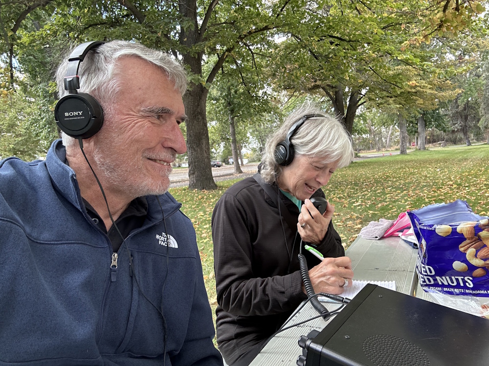
Joyce/K0JJW and I have wrapped up our trip along the Lewis and Clark National Historic Trail. We started at the Gateway Arch in St. Louis on September 5th and ended on the Pacific beach near Astoria, Oregon, 25 days and 3,725 miles later. We did it in our Class B camper van (Rocky), with the ham gear along for the ride. That is about 150 miles per day, which turned out to be a good pace that kept us moving but did not wear us or Rocky out.
The Route
We drove west from Camp Dubois, Illinois, which is the real starting point of the expedition (that’s our story and we’re sticking to it). From there we followed the Missouri River through Kansas City, along the Kansas, Nebraska and Iowa border, and across South and North Dakota. We drove a good part of the Dakotas on Highway 1804, which seemed appropriate.
In Montana we mostly followed Clark’s eastbound return route down the Yellowstone River, then went to Three Forks and back north to Great Falls. Then it was over Lemhi Pass, across Idaho via Lolo Pass and the Clearwater River, and down the Columbia River to Astoria. We won’t retrace the route home. We’re heading south along the Oregon coast and over to Crater Lake National Park.
Parks On The Air
The Lewis and Clark National Historic Trail is itself a POTA entity (US-4572), and many of the state parks, monuments and historic sites along the way are POTA parks too. That made the trip a natural for park hopping. We operated on 19 of the 25 days from September 5 through 29.
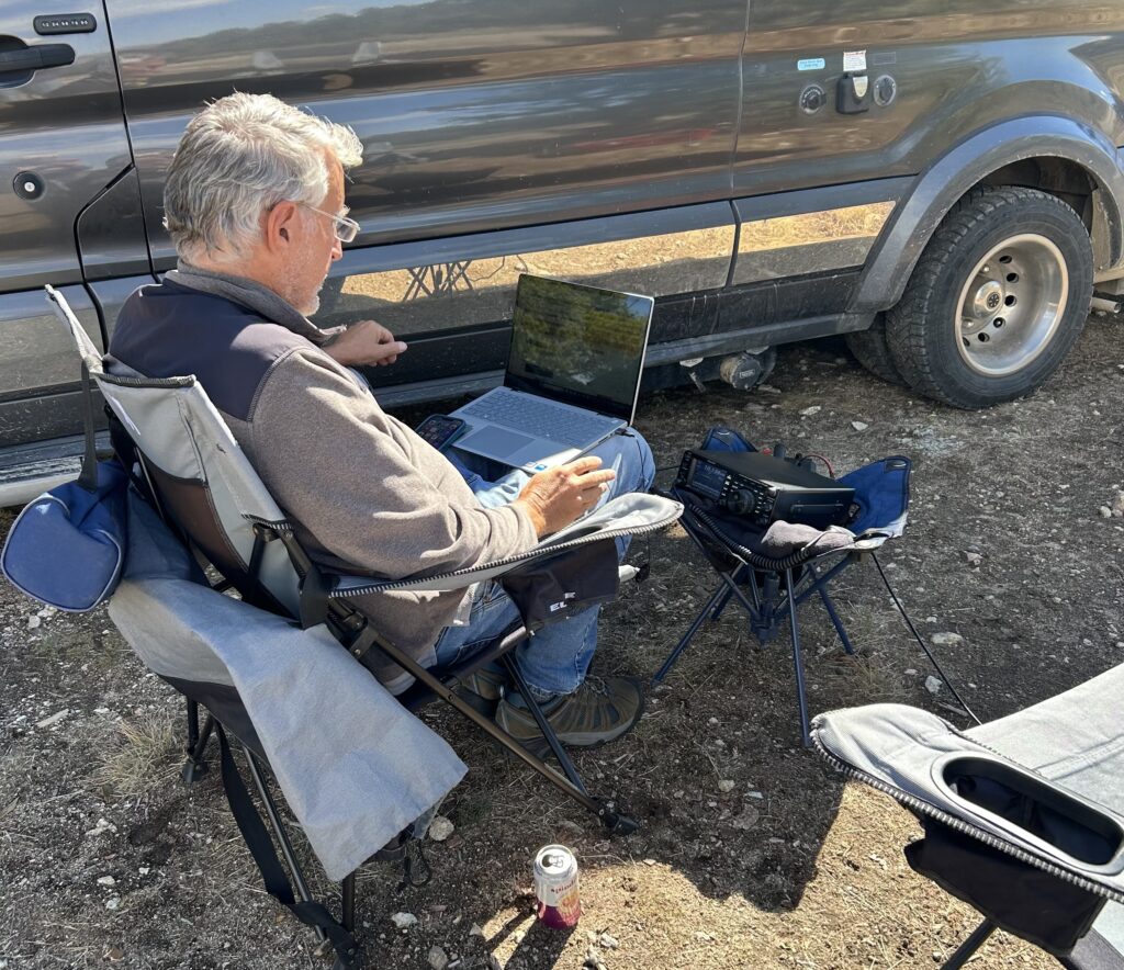
Our setup was the usual one: a Yaesu FT-991 at 50 to 80 watts, a 20 Ah Bioenno battery, and a Palomar end-fed wire on a SOTAbeams Travel Mast. I typically ran 20m SSB first, then switched to 30m FT8 (some FT4). Joyce always ran SSB, usually on 20m. We sometimes operated at our lunch stop, but more often after setting up camp in the afternoon. 30m turned out to be a good band for catching Colorado stations at that time of day.
The activation numbers from the pota.app log:
| State | Activations | QSOs |
| Illinois | 2 | 14 |
| Missouri | 8 | 50 |
| Iowa | 2 | 70 |
| South Dakota | 3 | 59 |
| North Dakota | 3 | 32 |
| Montana | 10 | 125 |
| Washington | 4 | 25 |
| Oregon | 6 | 48 |
| Total | 38 | 423 |
That is 38 park activations across 21 different POTA references in 8 states, with 214 phone and 209 digital QSOs (K0NR log only). The 2fers and 3fers did a lot of the work. I operated from US-4572 on 13 different days, and one unplanned 3fer happened at Arrow Rock State Historic Site in Missouri, where the Santa Fe Trail and the Lewis and Clark Trail overlap. Joyce operated a subset of these, so her log is similar but not identical.
A few highlights:
- Lewis and Clark State Park, Iowa (US-2304): my best day with 46 QSOs, 34 of them on FT8.
- Lemhi Pass, Montana: a 3fer covering the Lewis and Clark Trail (US-4572), the Continental Divide Trail (US-4558) and Beaverhead-Deerlodge National Forest (US-4499). I made 41 QSOs there, including FT8 on 30m, in an open area right at the pass.
- Sacajawea State Park, Washington (US-3259): a 2fer with the trail, at the spot where the Snake River meets the Columbia.
- Fort Stevens State Park, Oregon (US-2829): the last two activations of the trip, 16 and 21 QSOs, all on FT8, with the Pacific a short walk away.
We also fit in three SOTA activations: Tower Rock (W7M/NF-125), an unnamed summit along the Clearwater River (W7I/IC-321), and Beacon Rock (W7W/LC-163).
[Photo: Bob operating FT8 on 30m at Lemhi Pass]
The Lewis and Clark Part
Radio aside, this was a history trip, and a few places stood out.
Kaw Point, Kansas City. The Missouri and Kansas rivers meet here, under a silhouette monument of the two captains pointing the way.
Pompeys Pillar, Montana. Clark carved his name into this rock on July 25, 1806, and the signature is still there. The pillar is named for Sacagawea’s son, nicknamed Pompy.
Great Falls, Montana. The Lewis and Clark Interpretive Center is the best one we visited. The falls themselves have been heavily changed by dams, but you can still see the vertical drop that forced the Corps into a long, miserable portage.
Lemhi Pass. This is where Lewis reached the Continental Divide in August 1805, hoping to see an easy water route to the Pacific. What he saw instead was more mountains.
Lolo Pass and the Clearwater. We drove Highway 12 through the Bitterroots in a few hours. The Corps took 11 days of deep snow, fallen timber and near-starvation. The Clearwater is the first river they floated west of the Divide.
Fort Clatsop. The replica, based on Clark’s sketches, gives you a good feel for the dreary winter of 1805 to 1806, when it rained almost every day.
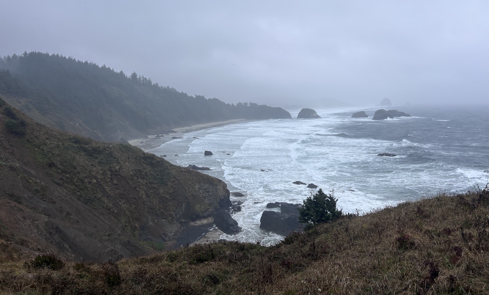
The End of the Trail. Cape Disappointment, where the Corps first touched the Pacific, is my pick for the end. Seaside, Oregon has a statue of the two captains and Seaman the dog, and claims the title too, because the salt-making camp there was the farthest west the expedition occupied.
Resources
I spent many months planning this trip. The good news is there are many resources available either online or in printed form to assist with this. The bad news is there is too much information to absorb, so I had to be selective. Here’s my short list of things I found to be most helpful:
- Undaunted Courage, the classic book by Stephen Ambrose. We listened to the audio book while driving.
- This Vast Enterprise, a recently published book by Craig Fehrman. This book focuses on what the expedition was like for specific individuals in the Corps, a good complement to Undaunted Courage. We also listened to this while driving.
- The Essential Lewis and Clark by Landon Jones. This book uses much of the original text from the journals of Lewis and Clark, delivered in their language. Not as easy to absorb as Undaunted Courage but interesting (third on this list). We also listened to this while driving.
- Lewis and Clark Trail (iOS app) this app is useful for identifying Lewis and Clark sites while traveling.
- Online Atlas of the Lewis & Clark National Historical Trail a comprehensive map of the official trail and associated sites.
- The Lewis and Clark Trail Alliance tons of information
There are many more…
Wrap Up
This trip turned out to be a fantastic blend of multiple activities. It was a fun road trip that took us across a wide variety of landscapes. The Lewis and Clark theme provided a focus for the trip and we learned a lot about the expedition. It is an amazing story of leadership, courage, adventure, and perseverance. Our trip was a wonderful (RV) camping experience across many states and parks. Of course, for a ham radio enthusiast, POTA is a great companion activity, tying in parks and ham radio.
73 Bob K0NR