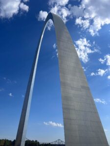
 Our journey on the Lewis and Clark National Historical Trail started at the Gateway Arch National Park in St Louis. The arch is a well known structure and tourist attraction with excellent museum at its base, focused on the western expansion of the US.
To be more precise, Camp Dubois is normally considered the starting point of the Lewis and Clark Expedition, at least that’s what Meriwether Lewis said. There is a first-rate visitor center there at the Lewis & Clark State Historic Site (IL). Like many historical sites on the trail, more than 200 years of river flow have changed positions of important landmarks. So the Camp Dubois historic site is not exactly at original site. Note that in 2019, the Lewis and Clark National Historical Trail was extended all the way to Pittsburgh, to include the preparatory activities associated with the expedition. That’s fine, but the real journey started at Camp Dubois. That’s our story and we are sticking to it.
The Trip So Far
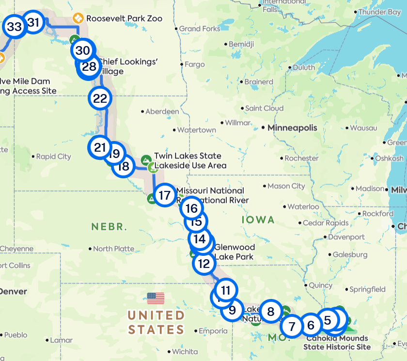
We drove west from Camp Dubois, following the Missouri River. To determine our specific route, we had identified the most important sights and exhibits to see that are associated with the expedition. Then we used Google maps to figure out the specific route, making adjustments to avoid interstate highways and other undesirable roads. We followed the Missouri though Kansas City and north along the state lines of Kansas, Missouri, Nebraska, and Iowa.
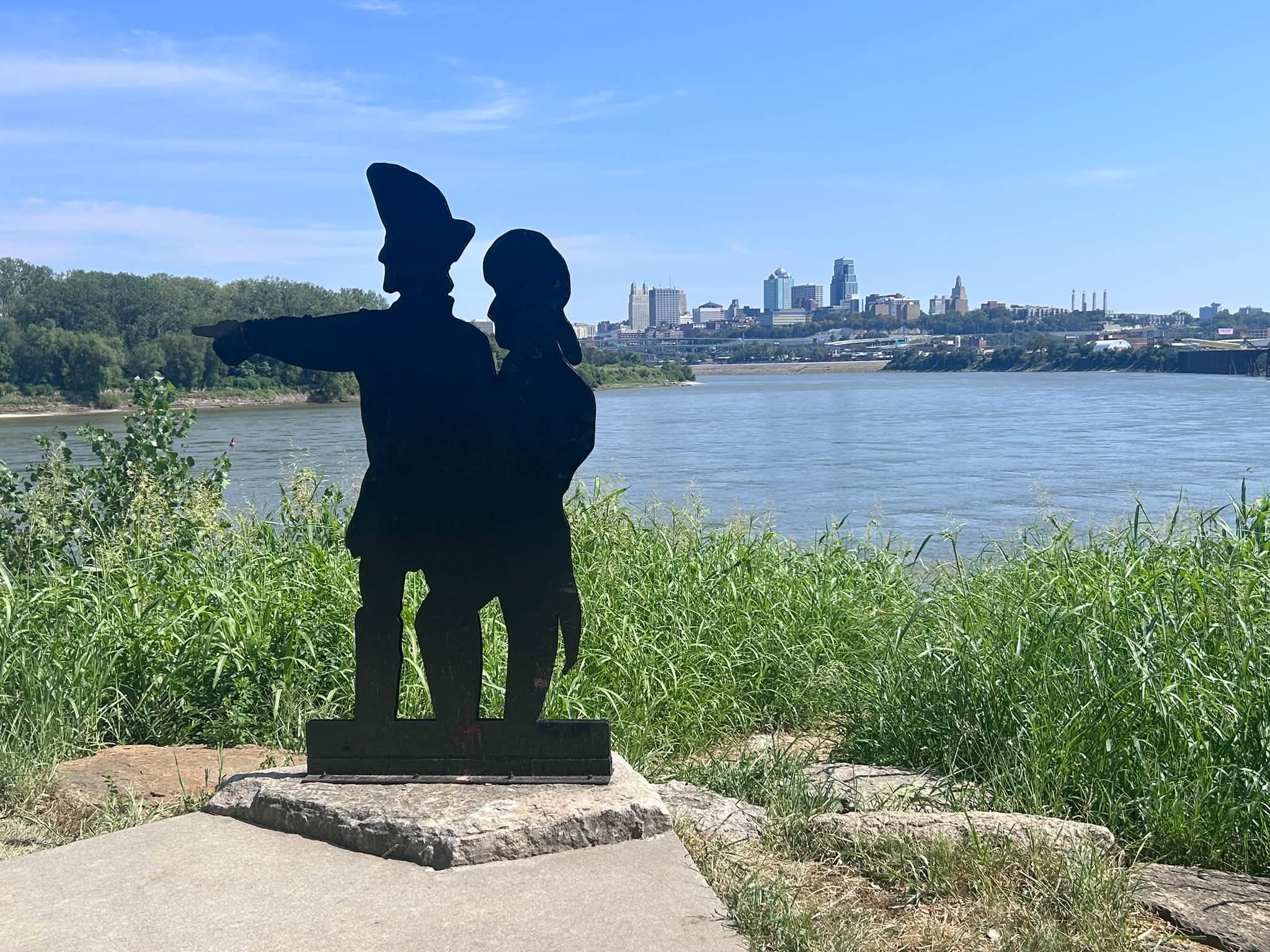
Here is a photo of Kaw Point, where the Missouri River meets the Kansas River, which is located in modern Kansas City. The monument there is a basic silhouette of Lewis and Clark pointing the way.
We drove approximately 1570 miles over 10 days. The map below shows 33 points of interest that plot our general route. These include quick stops at historical markers, longer visits to interpretive centers, overnight stays at campgrounds, and everything in between. It seems that every town along the way has some sort of marker or facility that recognizes the Lewis and Clark Expedition.
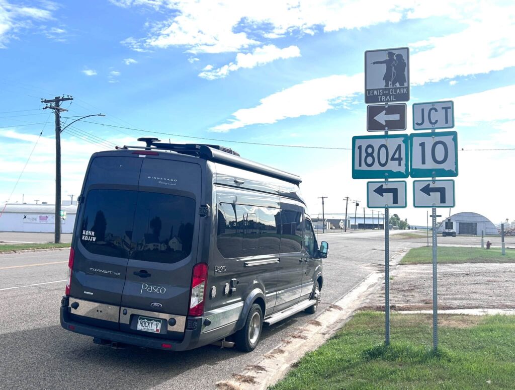
Someone pointed out that the highway we were on is numbered 1804, to commemorate the year that Lewis and Clark hit the trail. Nice to know. We followed that highway a long way across the Dakotas.
We made many stops along the river, always looking for a good view of it. Here’s one photo take from Fort Abraham Lincoln State Park in ND.
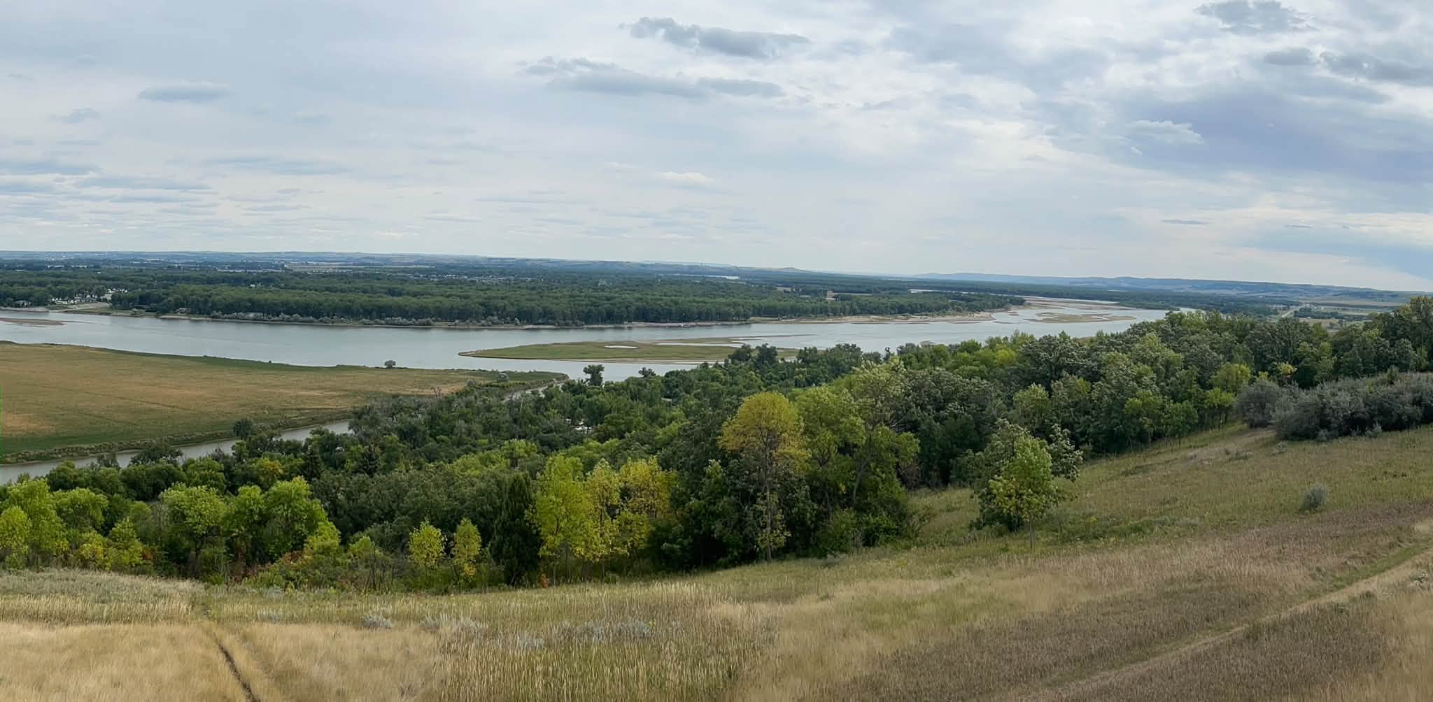
We’ve made it across North Dakota, camped at Lewis and Clark State Park (where else?) and will continue west into Montana tomorrow.
Parks On The Air
Of course, we got out the ham gear and made contacts from some of these parks, especially the ones with a connection to the Corp of Discovery. Sometimes we operated in the middle of the day during our lunch stop. More often, we waited until we set up camp, operating late afternoon or early evening. Our standard POTA setup is a Yaesu FT-991, a 20 Ah Bioenno battery, and a Palomar end-fed Bullet antenna supported by a SOTAbeams Travel Mast.
Here’s my list of POTA activations — Joyce/K0JJW operated a subset of these. She always used SSB, usually 20 meters. I operated either 20m SSB, 30m FT8, or both. I found that 30m worked well for catching Colorado stations in the late afternoon.
Some of these activations were 2fers, especially when a park was considered part of the Lewis and Clark National Historic Trail (US-4572). One unplanned 3fer occurred when Sante Fe Trail and the Lewis and Clark Trail passed through Arrow Rock State Historic Site. We averaged more than one activation per day, with the 2fers helping with that.
It has been a great trip so far. We are learning lots of things about the expedition, enjoying the leisurely road trip and POTA activations. Look for us on the air!
73 Bob K0NR
3 thoughts on “On The Trail”