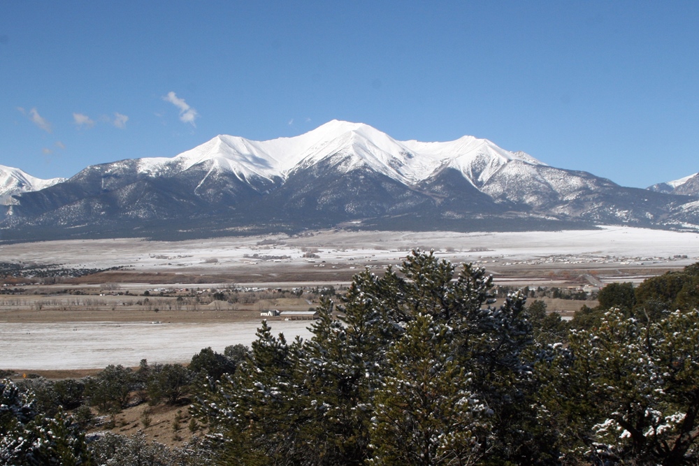
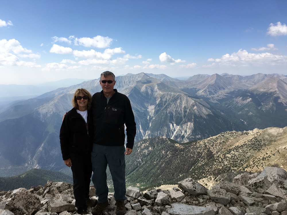
For the Colorado 14er Event, Joyce/K0JJW and I decided to activate Mount Princeton (W0C/SR-005). I had climbed this summit many years ago, well before Summits On The Air (SOTA) was a thing. Princeton is a majestic peak that towers over Buena Vista and the surrounding area. We see that mountain quite often when we are up at the cabin, so I kept thinking it would be great to activate it for SOTA. Despite it being a popular 14er, it had only been
activated 2 times before (now 4 times with Joyce and me).
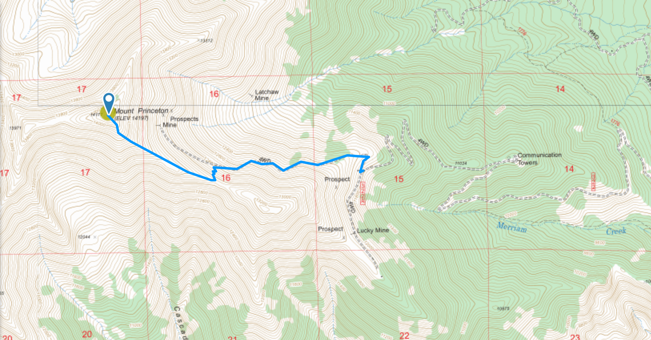
For complete information on climbing this summit, spend some time studying the 14ers.com web site. You will see references to the upper trailhead and the lower trailhead. A 4WD road leads to the upper trailhead which is where we started our hike at 11,800 feet. The lower (or main) trailhead is way down at the bottom (8900 feet) which makes for a much longer hike. Also, you end up hiking on the road, which tends to be boring.
The Road
The 4WD road is mostly “easy 4WD” with some challenging spots inserted along the way. It was no problem to drive the road with our Jeep Wrangler. A crossover-style SUV would have trouble in several spots but can probably make it with very careful wheel placement. The road has sections that are very narrow, so be prepared to back up if you meet someone coming from the other direction. We parked very close to the upper trailhead, just pulling off to the side of the road, but there is not much room there. There is a lot more parking near the communications towers shown on the map but you have to hike another mile or so on the road. We made sure we had a parking spot by arriving at the upper trailhead at 5:30 AM; we were the first ones there.
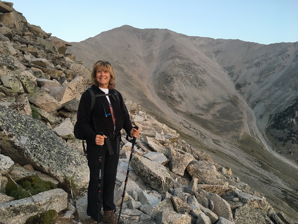
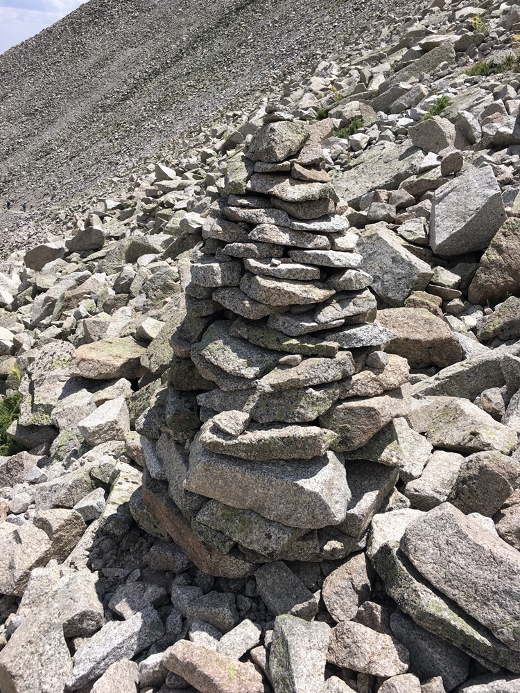
The trail starts out very distinct and is easy to follow. Later, the terrain turns to talus (fields of large rocks) which continues for the entire climb. In some spots, the trail fades and is difficult to follow. Even when you are “on the trail” you get to do a lot of rock hopping. There is a reason they call these the Rocky Mountains. By my GPS app, the distance was 2.1 miles (one way) with 2360 vertical feet.
Summits On The Air
For radio operating, we focused on 2m FM using the Yaesu FT-90 Transceiver with LiPo battery, putting out 30W into a 3-element Arrow yagi antenna. I did have my very first DMR SOTA contact with Terry/KE0HNW, using my Tytera MD-380 handheld on 70 cm. I also made a few calls on 446.0 MHz but never got a reply.
Here’s my log…Joyce’s is about the same but with fewer QSOs.
UTC   Band  Mode Callsign
15:38 144MHz FM KD0VHD mobile
15:40 144MHz FM KS0E Jefferson
15:42 144MHz FM KI6YMZ Maroon Peak (W0C/WE-002)
15:46 144MHz FM N0MTN Mt Sherman (W0C/SR-061)
15:47 144MHz FM K0ETT Huron Peak (W0C/SR-010)
15:48 144MHz FM WA6MM Mt Bierstadt (W0C/PR-015)
15:49 144MHz FM KN0MAP
15:50 144MHz FM KD0YOB on his way up Mt Flora
15:53 144MHz FM KE0HNW
15:54 144MHz FM KE0RMY
15:55 433MHz DV KE0HNW My first SOTA DMR contact
15:57 144MHz FM W0AJO
16:17 144MHz FM K0BLL Mount Belford (W0C/SR-006)
16:30 144MHz FM W0ASB Mount Antero (W0C/SR-003)
We worked six other mountaintop stations, all of them 14ers. I also worked a few more summits on our way down the mountain but we were outside the activation zone, so I submitted those as a chaser log.
Thanks to everyone that came out to play!
73 Bob K0NR
Hi there,I check your blog named “Colorado 14er Event: Mount Princeton (W0C/SR-005) – The KØNR Radio Site” like every week.Your story-telling style is witty, keep it up!